
2022_2023_SpatialModel_TBEHosts

Description
Updated Spatial Models Hosts: Cervus elephus, Dama dama, Capreolus capreolus, Cervus nippon, Apodemus falvicollis, Myodes glareolus, Lepus europeaus, Lepus timidus, 2022 and 2023.
Abstract:
Ensembled spatial models were produced for four deer species (mooddeerensemblemodelsaug23.zip), two small mammal species (moemmaapofmyogMEANRFBRTAug22.zip), and two hare species (moemmalepeutiaug22MEANRFBRT.zip) by combining Random Forest and Boosted Regression Trees spatial modelling outputs, implemented using the VECMAP modelling suite, using a standard set of covariates including Fourier Processed Remotely Sensed environmental variables, land use proportions, human population and elevation. The training data offered to the model process include data from IUCN, from the Global Biodiversity Information Facility (www.gbif.org), and from earlier models ( Alexander, N.S., Morley, D, Medlock, J, Searle, K and Wint, W (2014), A First Attempt at Modelling Roe Deer (Capreolus capreolus) Distributions Over Europe. Open Health Data 2(1):e2, DOI:http://dx.doi.org/10.5334/ohd.ah and Wint, W, Morley, D, Medlock, J and Alexander, N.S (2014), A First Attempt at Modelling Red Deer (Cervus elaphus) Distributions Over Europe. Open Health Data 2(1):e1, DOI: http://dx.doi.org/10.5334/ohd.ag .
File naming scheme:
four deer species (mooddeerensemblemodelsaug23.zip) , two small mammal species (moemmaapofmyogMEANRFBRTAug22.zip) and two hare species (moemmalepeutiaug22MEANRFBRT.zip)
The output files are as follows:
a) deer: mocapcapensrfbrt2223.tif = Capreolus capreolus (Roe deer) ; mocervelensrfbrt2223.tif = Cervus elephbus (Red deer) ; modamdamensrfbrt2223.tif = Dama dama (Fallow deer) ; and mosikapaensbrtrfaug23.tif = Cervus nippon (Sika deer)
b) small mammals: moemmaapoflaaug22MEANRFBRT.tif = Apodemus flavicolis (Yellow necked mouse ; moemmamyoglaaug22MEANRFBRT.tif = Myodes glareolus (Bank vole)
c) hares: moemmalepeuaug22MEANRFBRT.tif = Lepus europaeus (European Hare) ; and moemmaleptiaug22MEANRFBRT.tif = Lepus timidus (Mountain Hare)
Projection + EPSG code:
Latitude-Longitude/WGS84 (EPSG: 4326)
Spatial extent:
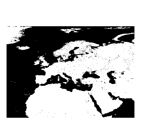
Extent -32.0000000000000000,10.0000000000000000 : 68.9999999999999574,81.9999999999999716
Spatial resolution:
0.0083333 deg (approx. 1000 m)
Pixel values:
Cluster number and Predicted probability of presence
Source:
UCN, from the Global Biodiversity Information Facility (www.gbif.org)
Software used:
ArcMap 10.8
License: CC-BY-SA 4.0
Processed by:
ERGO (Environmental Research Group Oxford) https://ergoonline.co.uk/ for the H2020 MOOD project
Files
Overview_host.png
Additional details
Related works
- Is derived from
- Journal: 10.5334/ohd.ah (DOI)
- Journal: 10.5334/ohd.ag (DOI)
Dates
- Available
-
2022/2024