
Published March 27, 2023
| Version v1
Presentation
Open
Fully-automated navigation support for vessels in the Arctic: An application and validation example of ice type mapping during the CIRFA cruise 2022
- 1. UiT The Arctic University of Norway
- 2. Norwegian Meteorological Institute - MET Norway Ice Service
Description
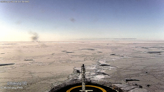
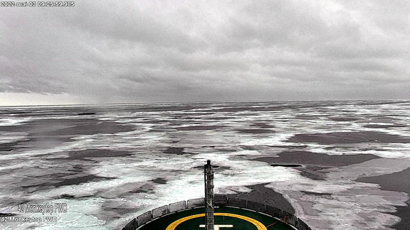
In this work, we present the setup and results of supervised ice type mapping from Sentinel-1 in support of the CIRFA-22 cruise on RV Kronprins Haakon in April and May 2022.
We outline technical details of the data processing and transfer to the vessel, evaluate classification results in comparison with in-situ observations, and show how the satellite products can were used for tactical navigation during the expedition.
The main presentation is provided in pdf format.
Small gif files that were embedded in the original pptx presentation added separately.
Notes
Files
classification_time_series.gif
Files
(47.8 MB)
| Name | Size | Download all |
|---|---|---|
|
md5:8fa3ab68d62d412cb2b790243aacbef3
|
14.6 MB | Preview Download |
|
md5:d4969d1e58e231d1d5f371c9b6ae74dc
|
7.7 MB | Preview Download |
|
md5:54fdd2b3ad97a6ebc4277a69631dd517
|
7.9 MB | Preview Download |
|
md5:8be971a0cb75671a77fded717cfbe4f0
|
8.4 MB | Preview Download |
|
md5:3b3c5f77d114e631b1d9993f60400a75
|
9.2 MB | Preview Download |