Published October 28, 2011
| Version v1
Figure
Open
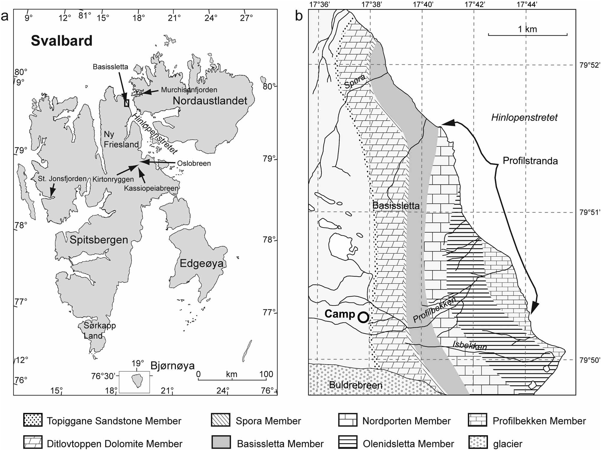
FIGURE 1 in Taxonomy and biostratigraphy of Ordovician brachiopods from northeastern Ny Friesland, Spitsbergen 3076
Creators
Description
FIGURE 1 Locality maps of the Svalbard Archipelago. a) Locations of sites yielding Lower Palaeozoic fossils mentioned in this paper. b) Geological map of the Basissletta plain, northeastern Ny Friesland; redrawn from Fortey & Bruton (1973). The base map is based on aerial photos made available by the Norwegian Polar Institute and on field observations made by the authors in 2008.
Notes
Files
figure.png
Files
(1.0 MB)
| Name | Size | Download all |
|---|---|---|
|
md5:cb6d2e1a2558e06813a48bbfd203178a
|
1.0 MB | Preview Download |