
3D model of a box-type structure under a small cairn near the Bear Trap in Northwest Greenland

- 1. Institute of Coastal Research, Helmholtz-Zentrum Geesthacht, Centre for Materials and Coastal Research
- 2. Museum of Cultural History, University of Oslo, Norway; The National Museum of Denmark, Copenhagen, Denmark
- 3. Arctic Research Centre, Aarhus University, Denmark
- 4. School of Engineering, Aarhus University, Denmark
Description
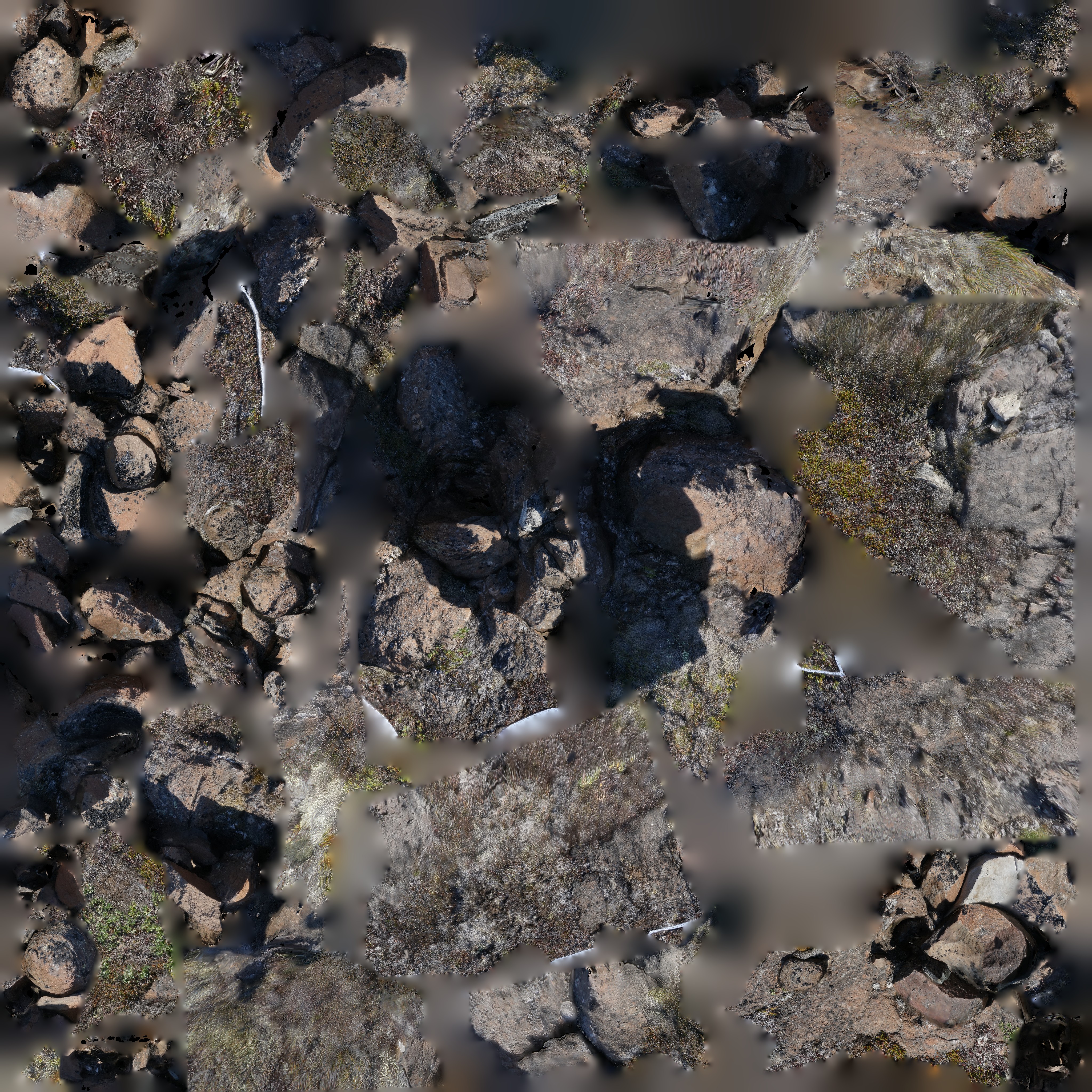
This dataset consists of files that can be used to view a high-resolution 3D model of a box-type structure under a small cairn in the vicinity of ‘The Bear Trap’, a Norse ruin at the western end of the Nuussuaq Peninsula in NW Greenland (also called ‘Bjørnefælden’ in Danish, and ‘Putdlagssuaq’ or ‘The Great Trap’ Greenlandic Kalaallisut). The interior of the stone box appears to have been completely empty. Similar small stone box structures have been identified and discussed by Schedermann (e.g. 1990: 159) for Arctic Small Tool tradition (ASTt) sites on Skraeling Island and by McGee (1979) for Port Refuge in the Canadian High Arctic. Similar and equally enigmatic features have also been described by Knuth (1966/67: 203) for far north and northeast Greenland. They have been alternatively attributed to numerous PalaeoEskimo cultural complexes, but without dated materials from the site current attribution of the feature’s function, significance or date are not possible. The 3D model was created from 280 digital photographs that were processed using Structure from Motion Multiview Stereo photogrammetry software (in this case Agisoft PhotoScan Pro v1.4; Linux Ubuntu). A 24 megapixel Sony a6000 APS-C mirrorless camera fitted with a 17 mm lens was used to acquire ground-level imagery of the structure. Pictures were visually assessed prior to processing in PhotoScan to exclude any that were blurry and/or overexposed. The image alignment or bundle adjustment was performed using ‘High’ accuracy, a key point limit of 60000, no tie point limit, and generic preselection. After the sparse point cloud was created, the bounding box was adjusted to enclose the area of interest and the camera parameters were optimized. Gradual selection was used to remove tie points with relatively high uncertainties. The sparse point cloud was scaled using markers with known dimensions that were placed in the area of interest, and which remained stationary throughout the entire photo survey. The dense point cloud was computed using the ‘Medium’ setting, as attempts to use the ‘High’ setting were unsuccessful due to insufficient memory. The dense point cloud was then used to compute the mesh model using the ‘High’ setting. The model was then exported to the .obj and .mtl files and .pdf file that are provided here. The .obj model can be viewed using Meshlab and the .pdf can be viewed using Adobe Acrobat Reader, both of which are cross-platform and freely available. Instructions are provided in the readme file that accompanies this dataset.
The image survey was conducted as part of the Vaigat Iceberg-Microbial Oil Degradation and Archaeological Heritage Investigation (VIMOA) project, which was funded by the Danish Centre for Marine Research and supported by the Arctic Research Centre at Aarhus University, the National Museum of Denmark, the Greenland Institute of Natural Resources, and The Greenland National Museum and Archives in Nuuk. Proper permits for the survey were obtained in advance from the Greenland National Museum and Archives in Nuuk. Walsh et al. (2020) provides an overview of the archaeological surveys conducted during the VIMOA project and Walsh et al. (in prep) provides further details specific to The Bear Trap and surrounding archaeological contexts.
Knuth, Egil. (1966/67) The ruins of the Musk Ox Highway. Folk 8-9: 191-219.
McGee, Robert. (1979) The Palaeoeskimo occupations at Port Refuge, High Arctic Canada. National Museum of Man Mercury Series. Archaeological Survey of Canada Paper No. 92. Ottawa: National Museums of Canada.
Schledermann, Peter. (1990) Crossroads to Greenland: 3000 years of prehistory in the Eastern High Arctic.Calgary: The Arctic Institute of North America of the University of Calgary.
Walsh et al. (2020) The VIMOA project and archaeological heritage in the Nuussuaq Peninsula of north-west Greenland. Antiquity 94:e6 doi:10.15184/aqy.2019.230
Walsh, Matthew J., Daniel F. Carlson, Pelle Tejsner, and Steffen Thomsen. The Bear Trap: Reinvestigating a unique stone structure on the northwest tip of the Nuussuaq Peninsula, Greenland. Manuscript in prep.
Files
bear_trap_box_cairn_model.jpg
Files
(623.1 MB)
| Name | Size | Download all |
|---|---|---|
|
md5:4b3326cb9021f445b9b7b9e5ff193433
|
5.5 MB | Preview Download |
|
md5:3df0af87d375014cd271ccc88f54be9b
|
217 Bytes | Download |
|
md5:cecbea394212d5932d71f8ef5c571b9a
|
372.0 MB | Download |
|
md5:4883a328c3894584bf4fd1db3cfb5a54
|
245.6 MB | Preview Download |
|
md5:0afe93e5665d146e081d2ef5df85c337
|
2.4 kB | Preview Download |