
AIRBORNE SPECTROMETER MEASUREMENTS FMOM BOREAL SNOW-COVERED LANDSCAPE
Authors/Creators
- 1. Finnish Environment Institute, Latokartanonkaari 11, 00790 Helsinki, Finland
Description
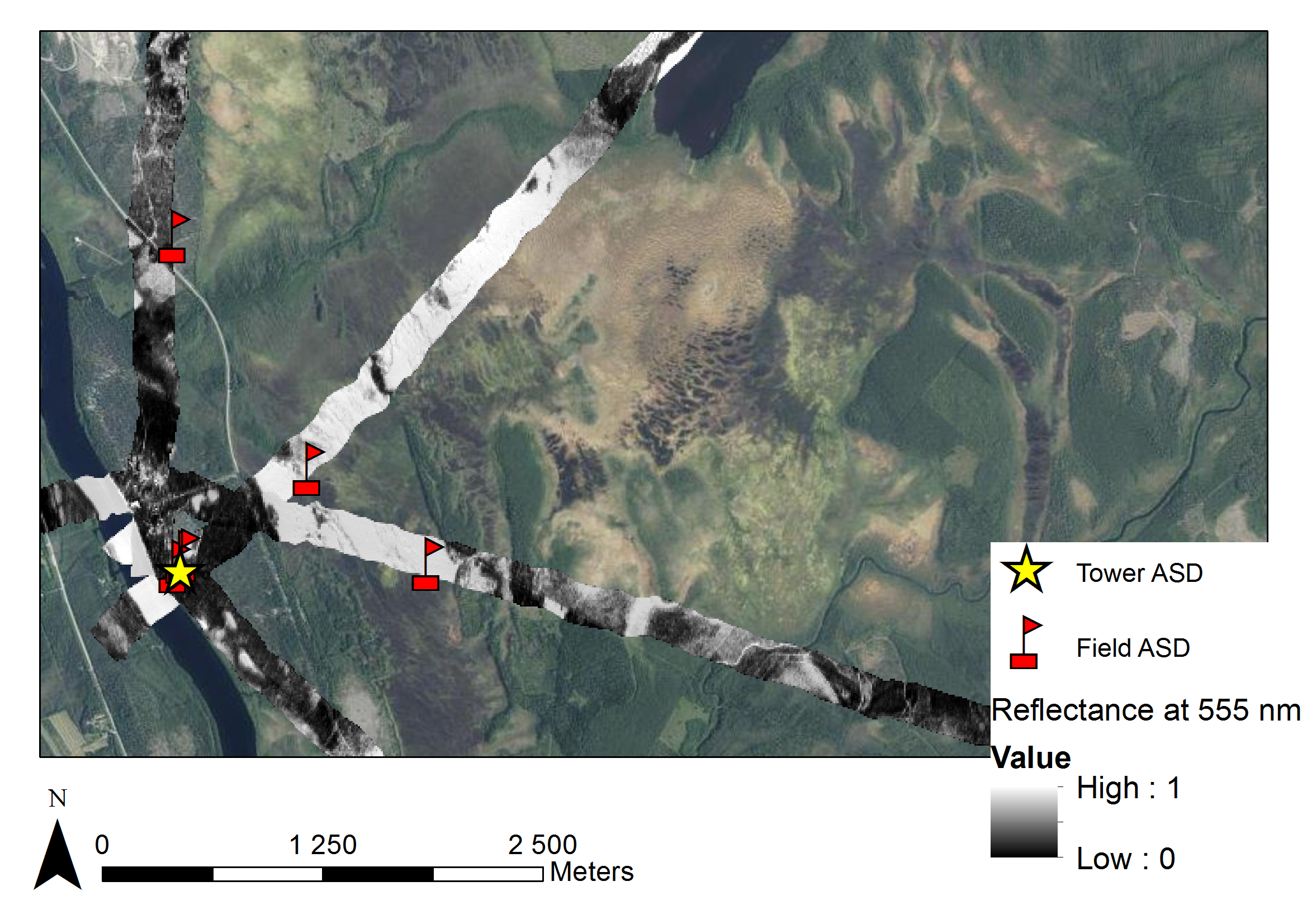
The dataset contains 10 meter resolution reflectance data from boreal snow-covered landscape. The purpose of the airborne measurements was to investigate the effect of forest canopy on optical remote sensing signals for snow-covered surfaces. The hyperspectral airborne data was acquired with an AisaDUAL imaging spectrometer on March 18 and on March 21, 2010 in Sodankylä, Finland. The image swath was 240 meters and flight lines were several kilometers long. The original spatial resolution of the data is 80 cm x 80 cm, but it was resampled to pixel size of 10 m x 10 m. All measurements were carried out in non-cloudy conditions (0/8 to 2/8 cloud cover). On 18 March, the tree canopy was snow-free and snow on the ground was several days old, while on 21 March, the tree canopy was snow-covered and snow on ground was fresh. The data contains mosaics of the flight lines for the bands 555 nm, 645 nm, 858.5 nm and 1640 nm for both days 18 March 2010 and 21 March 2010.
Notes
Files
aisa20100318_1640nm.tif
Files
(19.3 MB)
| Name | Size | Download all |
|---|---|---|
|
md5:d1014dfdcf5466f9e12e6ec208651481
|
656.6 kB | Preview Download |
|
md5:90849d8838fbd99990b7975c8a9aefe7
|
12.6 MB | Preview Download |
|
md5:fd8fd34d7ec233c4c574471b96673bb4
|
656.6 kB | Preview Download |
|
md5:81bae18d318130dc82acb8a74c7a7887
|
656.6 kB | Preview Download |
|
md5:d9c0827331e1d70472ae5b1e81ce475f
|
607.0 kB | Preview Download |
|
md5:396caaad3e67bee176b7ca5d000caeea
|
607.0 kB | Preview Download |
|
md5:aae058de237f94fc4106b21273fe7ac0
|
607.0 kB | Preview Download |
|
md5:48facf100df93a5e0ea4fd2984332a15
|
607.0 kB | Preview Download |
|
md5:abeb68b1372e4444636ec16d43ecabc3
|
2.3 MB | Preview Download |
Additional details
References
- Heinilä, K., Salminen, M., Pulliainen, J., Cohen, J., Metsämäki, S., & Pellikka, P. (2014). The effect of boreal forest canopy to reflectance of snow-covered terrain based on airborne imaging spectrometer observations. International Journal of Applied Earth Observation and Geoinformation, 27, 31-41. https://doi.org/10.1016/j.jag.2013.06.004
- Pulliainen, J., Salminen, M., Heinilä, K., Cohen, J., & Hannula, H.R. (2014). Semi-empirical modeling of the scene reflectance of snow-covered boreal forest: Validation with airborne spectrometer and LIDAR observations. Remote Sensing of Environment, 155, 303-311. https://doi.org/10.1016/j.rse.2014.09.004
- Cohen, J., Lemmetyinen, J., Pulliainen, J., Heinilä, K., Montomoli, F., Seppänen, J., & Hallikainen, M.T. (2015). The Effect of Boreal Forest Canopy in Satellite Snow Mapping-A Multisensor Analysis. Ieee Transactions on Geoscience and Remote Sensing, 53, 6593-6607. https://dx.doi.org/10.1109/TGRS.2015.2444422