Published December 31, 2013
| Version v1
Figure
Open
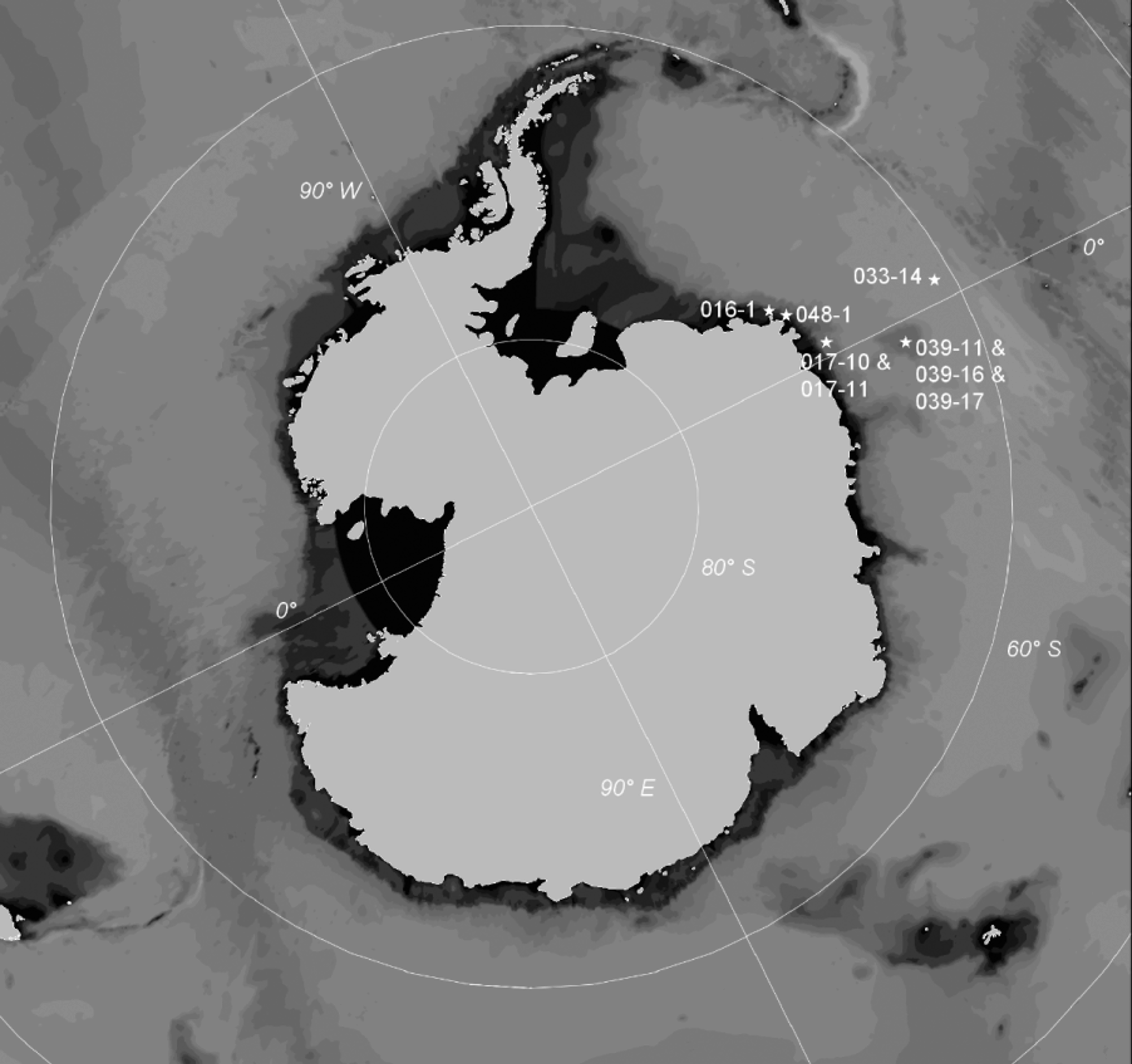
FIGURE 1. A in Demospongiae of ANT XXIV / 2 (SYSTCO I) Expedition—Antarctic Eastern Weddell Sea
Creators
Description
FIGURE 1. A map of the Weddell Sea showing the stations, where our sponges were sampled. Stations lying very close to each other are pooled. The map was created using Ocean Data View (Schlitzer 2004).
Notes
Files
figure.png
Files
(1.1 MB)
| Name | Size | Download all |
|---|---|---|
|
md5:ed16f9b9705f5bbbb5031a1aa791eba2
|
1.1 MB | Preview Download |
Linked records
Additional details
Related works
- Is part of
- Journal article: 10.11646/zootaxa.3692.1.5 (DOI)
- Journal article: urn:lsid:plazi.org:pub:FFD6FFA8CD3388028029FF93FFE4FFE9 (LSID)
- Journal article: http://publication.plazi.org/id/FFD6FFA8CD3388028029FF93FFE4FFE9 (URL)
- Journal article: https://zenodo.org/record/249019 (URL)