Published September 14, 2018
| Version v1
Video/Audio
Open
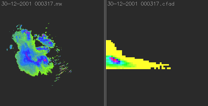
Animation of 24h-metereologic radar data (maximum reflectivity and CFAD) for the Liebenbergvlei, Freestate, South Africa on December 30 2001

Description
The visualisation of metereologic radar data for the Liebenbergvlei, RSA, covers the time between December 30 2001 00:00:00 hours and 23:59:00 hours in five minute steps. The data war recorded by the X-band metereological radar station operated by the South African Weather Service in the Liebenbergvlei in the Freestate, South Africa. For each time step, the maximum reflectitivity is depicted on the left, while the contoured frequency by altitude (CFAD) diagram is shown on the right (derived from plan position indicator (PPI) volume data from 1 to 18km height above ground). The processing of the data based on MDV-files was done in GRASS GIS v5.0.
Files
3012mx-cfad.gif
Files
(2.5 MB)
| Name | Size | Download all |
|---|---|---|
|
md5:0523cfb303ade08d8933585bf9e331f5
|
2.5 MB | Preview Download |
Additional details
Related works
- Is supplement to
- urn:nbn:de:bvb:20-opus-7594 (URN)