Published August 1, 2018
| Version v1
Figure
Open
Figure 1 from: Bahls L, Boynton B, Johnston B (2018) Atlas of diatoms (Bacillariophyta) from diverse habitats in remote regions of western Canada. PhytoKeys 105: 1-186. https://doi.org/10.3897/phytokeys.105.23806
- 1. Unaffiliated, Helena, United States of America
- 2. Unaffiliated, Kelly, United States of America
- 3. Parks Canada, Alberta, Canada
Description
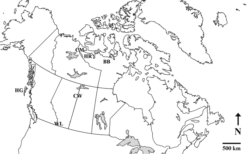
Figure 1 Map of Canada showing diatom collection areas. BB = Baillie and Back Rivers, CM = Coppermine River, CW = Clearwater River, HG = Haida Gwaii, HR = Hood River, WL = Waterton Lakes National Park. Source of base map: www.printablemaps.net
Files
big_218526.jpg
Files
(186.3 kB)
| Name | Size | Download all |
|---|---|---|
|
md5:10cc08665b56678f499c0be5219f9a9a
|
186.3 kB | Preview Download |
Additional details
Related works
- Is part of
- 10.3897/phytokeys.105.23806 (DOI)