Published December 31, 2023
| Version v1
Figure
Open
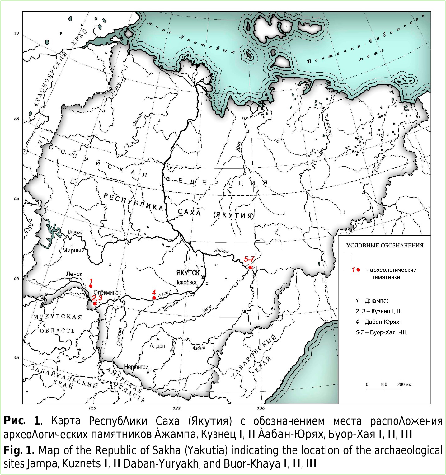
Рис. 1. Карта РеспубΛики Саха (Якутия) с обозначением места распоΛожения археоΛогических памятников Àжампа, Кузнец I, II Àабан-Юрях, Буор-Хая I, II, III. Fig. 1. Map of the Republic of Sakha (Yakutia) indicating the location of the archaeological sites Jampa, Kuznets I, II Daban-Yuryakh, and Buor-Khaya I, II, III in New data on the Holocene vertebrate fauna of the Middle Lena and Aldan Rivers basins (Yakutia) based on the materials from archaeological sites Jampa, Kuznets I, II Daban-Yuryakh, and Buor-Khaya I, II, III
Description
Рис. 1. Карта РеспубΛики Саха (Якутия) с обозначением места распоΛожения археоΛогических памятников Àжампа, Кузнец I, II Àабан-Юрях, Буор-Хая I, II, III. Fig. 1. Map of the Republic of Sakha (Yakutia) indicating the location of the archaeological sites Jampa, Kuznets I, II Daban-Yuryakh, and Buor-Khaya I, II, III
Notes
Files
figure.png
Files
(1.4 MB)
| Name | Size | Download all |
|---|---|---|
|
md5:bf888763903af0c6e6facab6114029c9
|
1.4 MB | Preview Download |
Linked records
Additional details
Related works
- Is part of
- Journal article: 10.33910/2686-9519-2023-15-4-907-922 (DOI)
- Journal article: urn:lsid:plazi.org:pub:D0303756FFB3FFBBFFB2FFFDFFE02042 (LSID)
- Journal article: https://zenodo.org/record/12994094 (URL)