Soil grid data for 4 agricultural fields in PT (ECe; soil organic carbon, pH)
Authors/Creators

-
1.
 Instituto Nacional de Investigação Agrária e Veterinária
Description
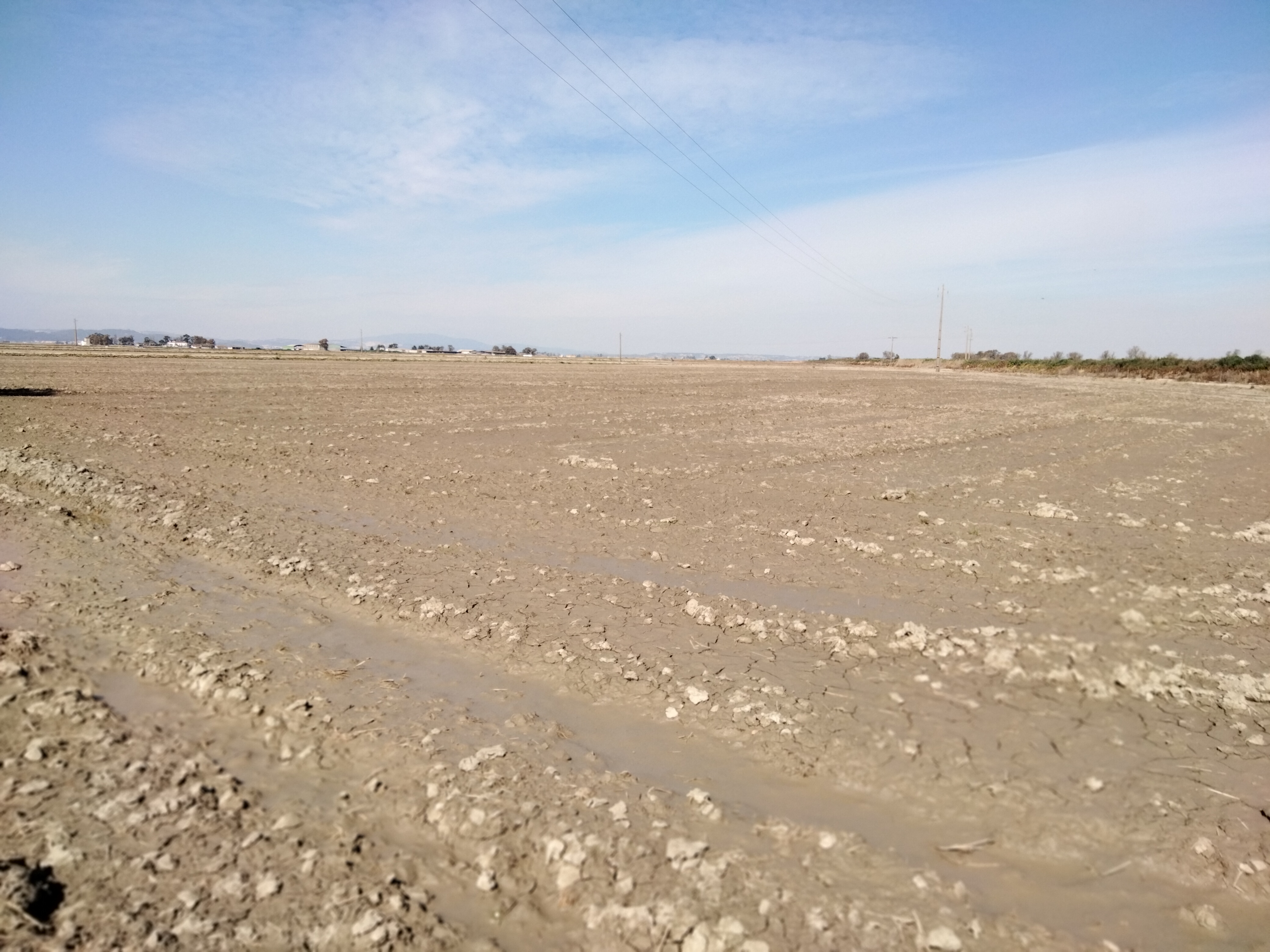
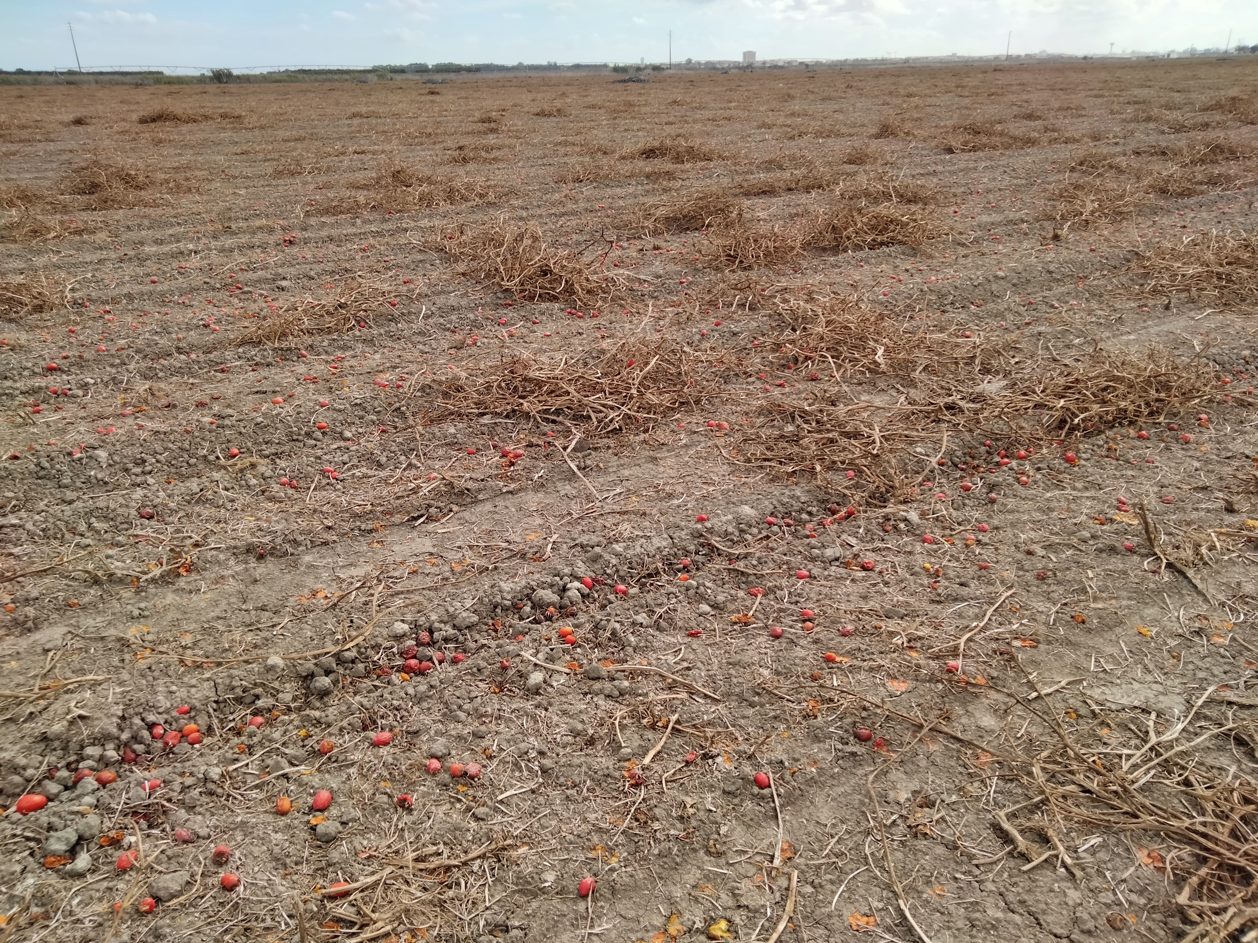
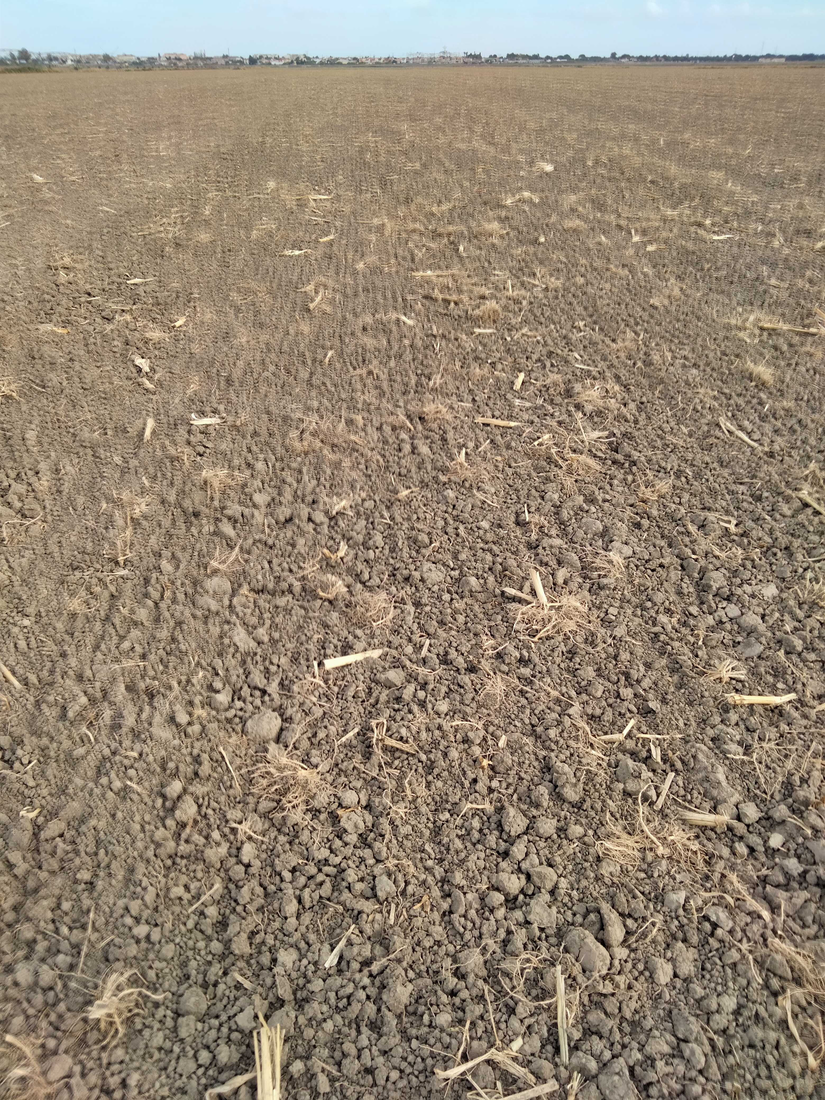
Soil data collected in an agricultural area with annual crops in Portugal (Lezíria Grande). The data refers to soil properties of 63 soil samples collected at a depth of 0-20 cm, considering a regular sampling grid, in four fields with varying soil salinity (field areas between 2 and 34 ha). The samples were collected at a period when the soil was bare, following the harvest of the annual crops, and pictures of the soil surface were taken for eventual correction of corresponding remote sensing imaging. The data includes: soil organic carbon (SOC) (Walkley-Black method), soil water content, electric conductivity of the saturated soil paste (ECe), EC1:5, and pH1:5.
The data may be representative of the soil conditions of the area, which is a highly productive agricultural low land, prone to the development of soil salinity as a result of the rise of saline groundwater and/or irrigation. The data can be used to establish relations between soil salinity (ECe) and other soil properties as well as build prediction models of the soil properties from remote sensing namely, for developing models for SOC prediction under the STEROPES project (WP5 (WP5-T3) and WP2 (WP2-T3)).The aim of the collected dataset was to be able to analyze the influence of soil salinity in SOC prediction from remote sensing.
Data in the form of MS Excel files (xlsx), pictures of the soil surface in jpg. format.
Files
A.jpg
Files
(31.5 MB)
| Name | Size | Download all |
|---|---|---|
|
md5:38ae0c371148e7433d2f8846b05d3868
|
2.7 MB | Preview Download |
|
md5:4e8cbeb7a496d62fb3a7095e60e61186
|
9.2 MB | Preview Download |
|
md5:0366c393daf2102cc8962bf0ec80b3e3
|
6.5 MB | Preview Download |
|
md5:004df64b388720e4e8131945fb46bd15
|
6.5 MB | Preview Download |
|
md5:d7d5d92c3cd7fed6ad0d7470a448401d
|
6.5 MB | Preview Download |
|
md5:165a1c408d079eb3228d8b77a5d8ba35
|
117.2 kB | Download |